Leh Manali Highway is one of the most dangerous roads in India. It spans over a length of 479 km (298 mi) among the Himalayan mountain range. It goes through some of the world’s highest mountain passes, which are between 3 and 5 kilometers above sea level on average. This is a very dangerous track because of its high altitude, extreme cold, and lack of people for miles. Carry extra fuel and feel close to heaven.
Leh Manali Highway
This road goes from Leh, which is in the capital of the Union Territory of Ladakh region, to Manali, which is in the state of Himachal Pradesh. The Manali-Leh Highway, one of the most dangerous roads in India, goes through some of the highest passes in the world, including ones that are on average more than 17,000 feet high.
By bus or jeep, it takes about a full day to get from Manali to Leh. It’s only open to cars and trucks for a few months in the summer, and the Tanglang La mountain pass is the highest point at 5,328 m (17,480 feet). Through the Atal tunnel in Himachal Pradesh, this road goes from the Kullu Valley on the upper Beas River to the Chandra and Bhaga river valleys in Lahaul.
The road then goes over a number of high Himalayan passes and into the valley of the Indus River in Ladakh. The Leh–Manali Highway acts as a trunk route for various India-China Border Roads in Ladakh and Himachal Pradesh. It has been designed, built and being maintained by the Border Roads Organization (BRO) of the Indian army. It supports the heaviest army vehicles.
The work on the Leh-Manali road was started in 1964 and its construction was taken up from both ends. In 1989, the 473-km Manali-Leh road began serving as the second land approach to Ladakh. Ladakh is in a strategic place between China and Pakistan, this highway is very important to India. Because of this, the Indian army takes care of the road itself.
Dangerous Roads in India
Aside from the beautiful scenery, life on and around the road is also very different because many different kinds of people use it. During the summer, people from other parts of India come to work on the roads to make them better. This road used to be open for about six months a year. I went to Ladakh for the first time in 2014 and then again in 2016.
Back then, between mid-May and mid-June, the Indian Army’s Border Roads Organization would clear the snow. Again, from October until early May, snow would block the main five high passes on the highway. Before the Atal Tunnel was built, the highway used to be closed during the winter after the Rohtang Pass.
When the Shingo La Tunnel is built on an alternative route through Zanskar Valley, which is expected to be done by 2025, the whole Leh-Manali route will be able to be used in any weather. Some parts of the road can get blocked by avalanches or heavy snowfall, which can be very dangerous if there are a lot of icy spots.
The weather can change quickly and get rough. If you want to go to this area, check the road situation before you go. People from all over the world, including an increasing number of Indians, use this road to see the beautiful views of the mountains. Truck drivers take their goods to and from Leh and other places in India. It is part of National Highway 3.
There are a lot of risks along this road. The road itself, where sometimes trucks and buses can only go 15 to 20 km/h because of how the road is. This is not the most pleasant way to drive. Some of the roads have drops to the side of a few hundred meters, which doesn’t help. Down the slope, you can see rusted-out cars that have rolled off the road. And some of the passes are really beautiful, especially if you have to wait on the side of the road for a truck to pass…
Manali-Leh Highway
The Manali-Leh Highway is one of the hardest and most complicated roads in the world. Snow, never-ending traffic jams, landslides, and the landscape all make the trip very hard. When driving in these conditions, it is important to be prepared for the thousands of feet of elevation gain and the remote areas you will pass through.
Owing to the rarefied atmosphere and low air pressure at high altitude, less oxygen is breathed in, and many travelers experience altitude sickness or acute mountain sickness, causing acute mountain sickness: headache, nausea, dizziness, and vomiting. Ladakh is a cold, semi-arid desert.
Even in the summer, from June on, when the days are warm and sunny but the nights are very cold, the highway is cold. Check the weather before you leave home, and remember that higher elevations are often cooler and more likely to have storms. In the last few years, the road has been fixed up. Currently, it’s mostly asphalted.
It’s amazing how many different kinds of cars and trucks are on the road, from tankers and delivery trucks to army trucks and anything else with a motor or none at all, like some cyclists. The Indian Army built and takes care of the road, which is important for the movement of military forces in Ladakh. To have a safe and fun trip on this road, you need to do your homework.
Due to how remote the area is, you should take extra care to make sure your vehicle is ready for the trip: check all tires and make sure they are properly inflated; check all fluids; replace worn hoses and belts; empty your RV’s holding tank and fill the water tank; and buy groceries and other supplies.
Bring at least two full-sized spare tires on rims, a tire jack and tools for fixing flat tires, emergency flares, extra gas, motor oil, windshield wiper fluid, and a radio for the car. On the trip, it’s also a good idea to bring chocolate, glucose, or other high-energy foods and to spend as little time as possible at the high mountain passes.
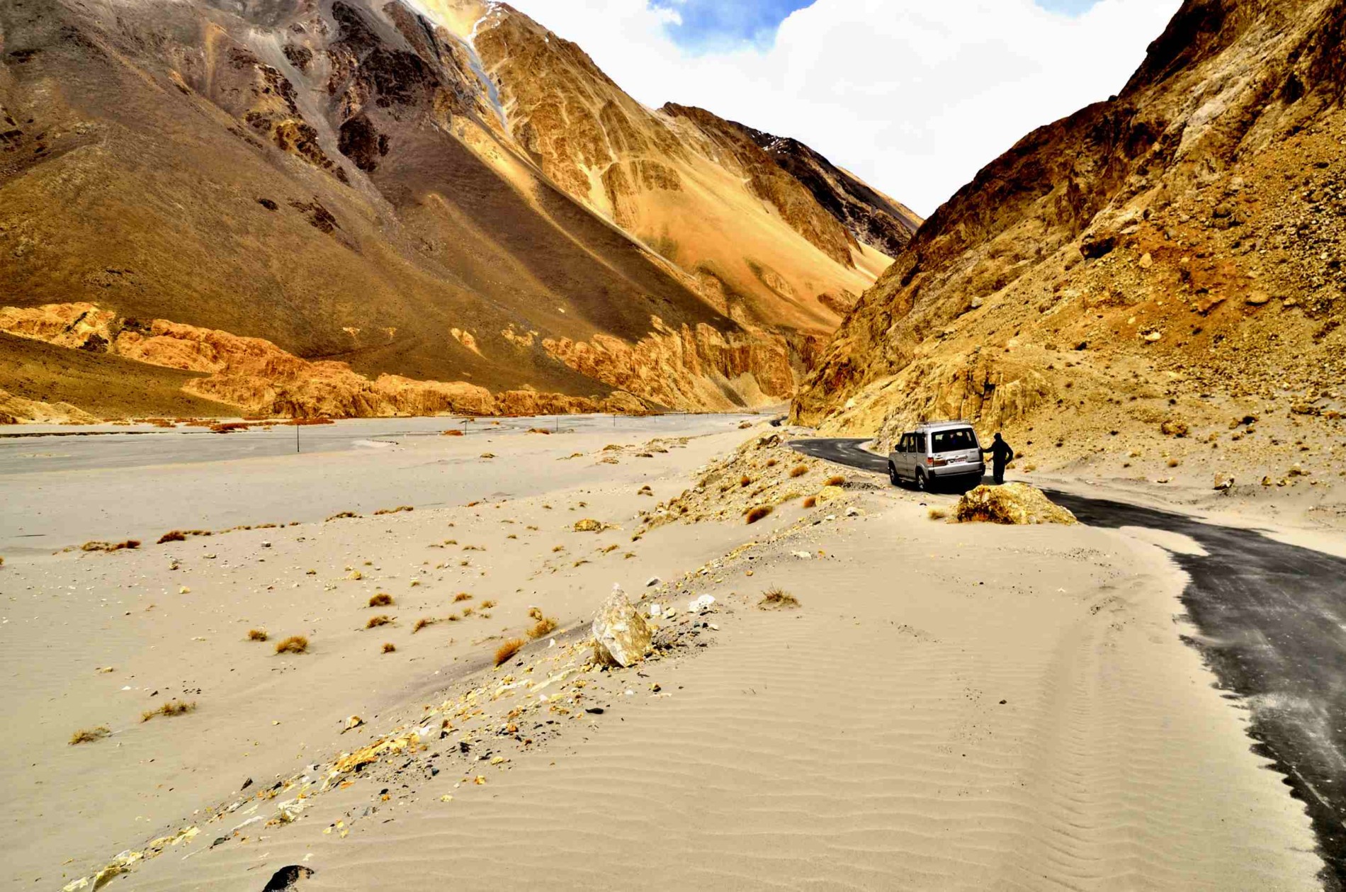
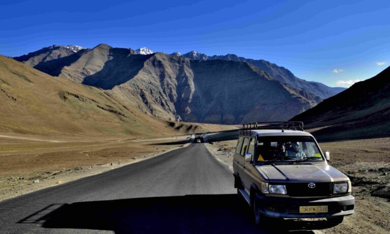
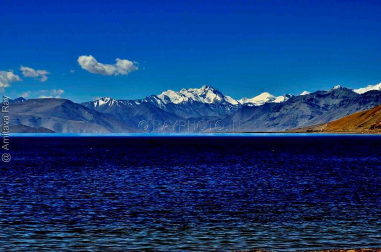
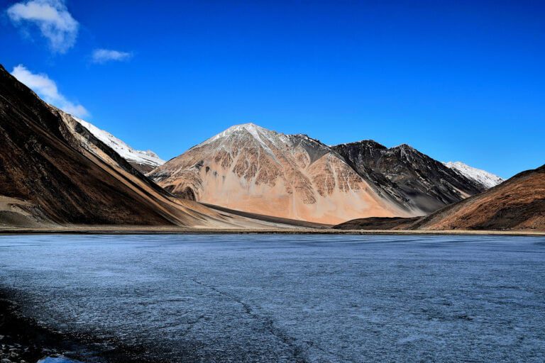
Leh manali road has been improved the last years. Currently it’s mostly asphalted.