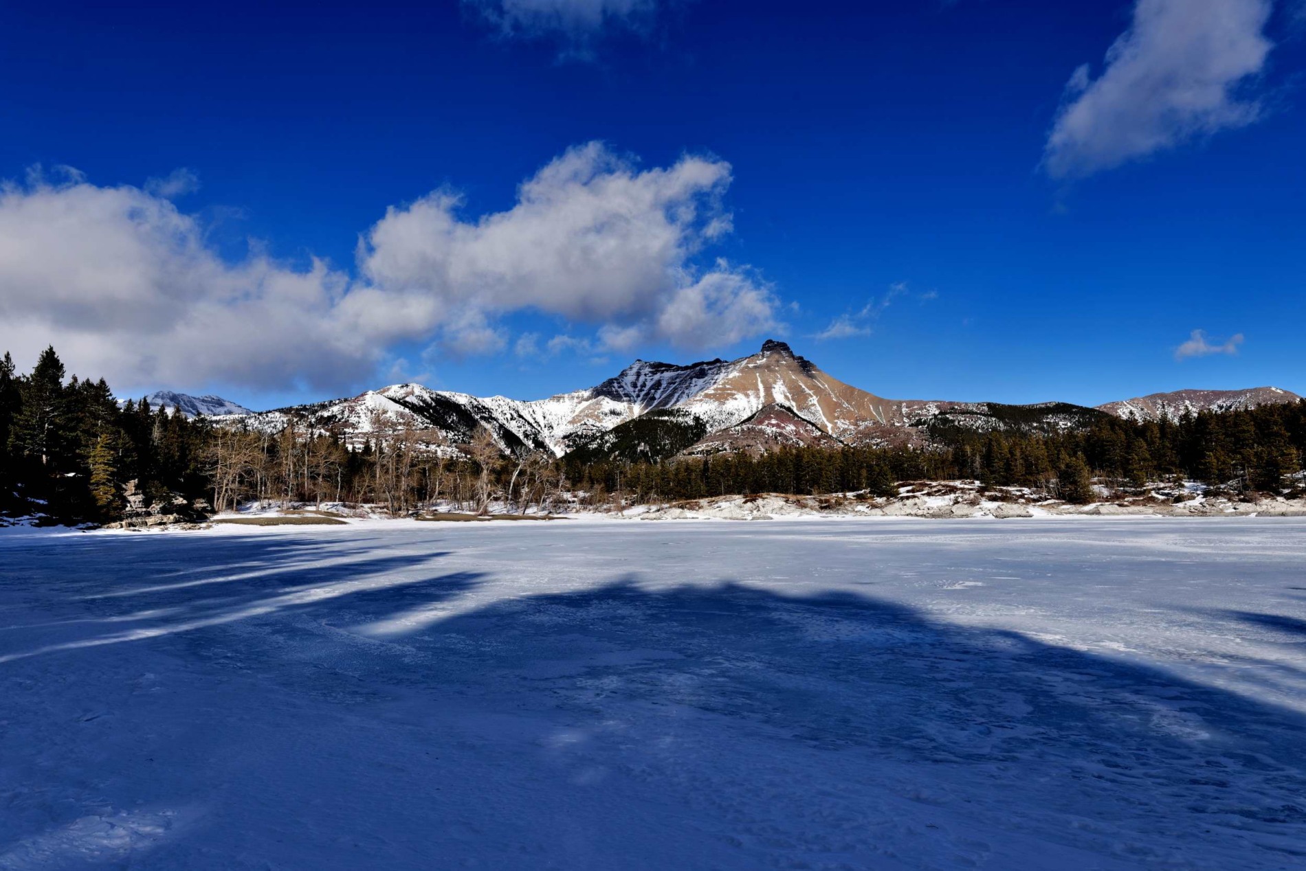
Waterton Glacier International Peace Park is made up of Waterton Lakes National Park in Canada and Glacier National Park in the United States. UNESCO has named both parks Biosphere Reserves, and the two parks together are a World Heritage Site. The only road border crossing in Waterton Glacier International Peace Park is the Chief Mountain Border Crossing. From the U.S. side, you can get there via Montana Highway 17, and from the Canadian side, you can get there via Alberta Highway 6.
Waterton Glacier International Peace Park
It is one of only two places on the border between the US and Canada that close in the winter. In 1932, Waterton Lakes National Park in Alberta, Canada, and Glacier National Park in Montana, United States, were joined together to make the first international peace park in the world. It is right on the border between the two countries and has beautiful views. The park has a lot of different kinds of plants and animals, as well as prairie, forest, alpine, and glacial landscapes.
Waterton Lakes National Park is in southwestern Alberta, Canada, on the eastern slopes of the Rocky Mountains, just north of the U.S. border. Glacier National Park is in Montana. It is 203 square miles in size (525 square kilometers). It was built in 1895, and in 1932, it became part of the Waterton Glacier International Peace Park. The landscape goes from prairie grasslands to rough, windswept peaks that are more than 9,000 feet (2,750 m) high.
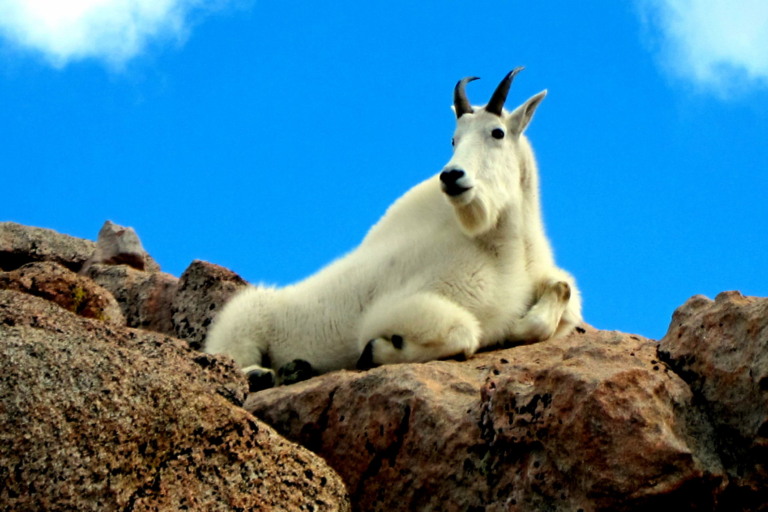
The slopes and valleys are brightly colored by the many wildflowers and forests of spruce, fir, and aspen trees. Black and grizzly bears, elk, mules, white-tailed deer, antelope, cougars, and coyotes all find good places to live in the grasslands and alpine meadows. Goats and bighorn sheep live in the high mountains. The Waterton River and a few brooks feed the Waterton Lakes. These lakes are an important place for migrating waterfowl to stop and rest.
Glacier National Park is a beautiful wilderness area in northwestern Montana, United States. It is in the northern Rocky Mountains, right next to the Canadian border and Waterton Lakes National Park in Canada. Together, the two parks make up Waterton Glacier International Peace Park, which was opened in 1932.
Glacier National Park is on both sides of the Continental Divide, which is the big ridge of the Rocky Mountains that divides the drainage systems that flow west to the Pacific Ocean and east to Hudson Bay and the Mississippi River. In 1976, UNESCO named it an International Biosphere Reserve, and in 1995, UNESCO named the International Peace Park a World Heritage Site.
Waterton Glacier National Park
Glacier National Park was created in 1910 and covers 1,583 square miles (4,101 square kilometers), of which a third is above the timberline. It is surrounded by the Flathead River and Flathead National Forest on the west and southwest, the Lewis and Clark National Forest on the southeast, and the Blackfeet Indian Reservation on the east.
Salish and then Blackfoot Indians used to live in the area that is now a park. In the 1800s and early 1900s, as the railroad pushed new settlers further west, they were mostly interested in making a living from the land. However, they also began to appreciate its natural beauty.
Shortly after the turn of the 20th century, places for tourists to stay were set up. The Great Northern Railway, whose tracks ran along the park’s southern border, built a lot of hotels and small lodges called “chalets” all over the park. Most of them could only be reached by walking or riding a horse, and only a few of them are still in use.
Mountains, lakes, and valleys show how the 50 or so glaciers that still work in the area have changed it. Hanging valleys have waterfalls that drop into them, and the Garden Wall is a beautiful example of a narrow ridge left by glaciers on both sides. “Cirques,” which are basins in the shape of an amphitheater with steep walls, are also common. Mount Cleveland is the tallest point in the park, at 3,190 feet (10,466 feet).
Waterton International Peace Park
Lodgepole pines, spruces, firs, hemlocks, and cedars grow in dense forests on the steep western slopes. Heathers, bear grasses, and glacier lilies bloom in alpine meadows. Dryer plains were covered with prairie grasslands that moved east. Mountain goats and bighorn sheep live at the highest points.
Black and grizzly bears, as well as deer, moose, and elk, roam the woods. Around the middle of the 1980s, a few gray wolves that had been killed off earlier in the century started to come back. Among the more than 250 types of birds that live in or pass through the park, bald eagles stand out. In the many lakes and streams, you can find trout, turtles, and sometimes salmon.
On the park’s 700 miles (1,130 km) of trails, people like to camp, go cross-country skiing, hike, and backpack. The 50-mile (80-km) Going-to-the-Sun Road, which was opened in 1933, goes through the park and offers beautiful views of mountains, meadows, and lakes. The high-country section of the road is only open from mid-June to mid-September during the summer. Two of the three visitor centers are only open during the summer months.
